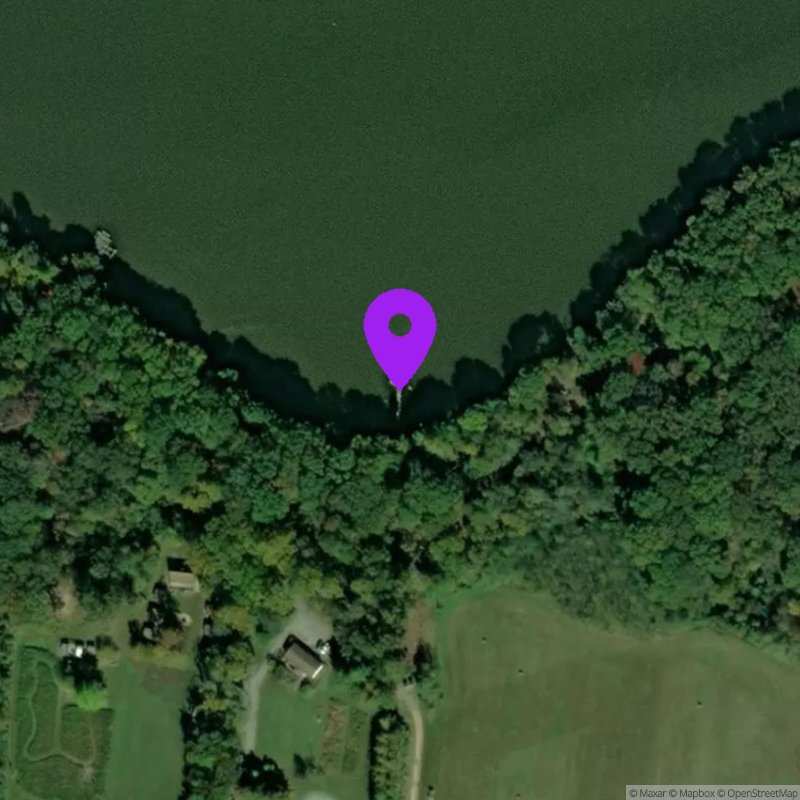
Nanjemoy
Last Updated:
May 19 - 25, 2026
Data Source: Hohonu (c2e6ea5c-fc9a-4513-91c2-0e34fe49afd5)
Prediction Source: Hohonu Tides+ (Astronomical tides + seasonal variability + mean sea level adjustment)
Lat/Lon: 38.4425, -77.1336
Time Zone: EDT (UTC-4)
Sensor(s): node-10227 (Ultrasonic)
Station Operator: University of Maryland
Installation history
NOAA CO-OPS REFERENCE TIDAL STATIONS
Observed: Dahlgren, Upper Machodoc Creek, Va. (8635027) [10.0 miles]
Predicted: Riverside, Md. (8578853) [3.9 miles]
Datums for Nanjemoy
*Datums presented here referenced to the station datum (-D2W)
Tidal Datum Calculation Parameters
Last Updated: -
Record Length: -
Reference Station: -
Approx. Error: -