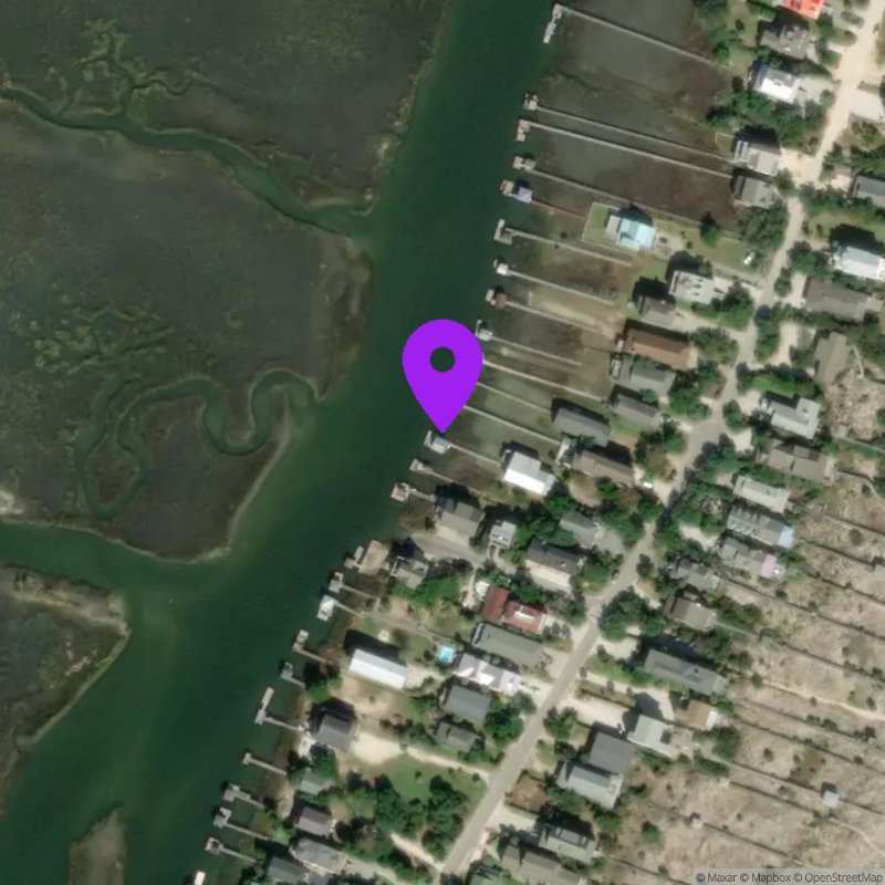
Pawleys Island, SC
Now:
Last Updated:
This station was collecting data between Aug 22, 2021 and Mar 28, 2024. Until it is reactivated, only historical data can be accessed.
Data Source: Hohonu (3f1d4205-0633-4fae-ac05-17878a8d7cf7)
Lat/Lon: 33.4425, -79.1151
Time Zone: EDT (UTC-4)
Sensor(s):
Station Operator: Town of Pawley's Island
Installation history
NOAA CO-OPS REFERENCE TIDAL STATIONS
Observed: Springmaid Pier, Myrtle beach (8661070) [18.5 miles]
Predicted: Midway Inlet North, Pawleys Island (8661947) [0.4 miles]
Datums for Pawleys Island, SC
*Datums presented here referenced to the station datum (-D2W)
Tidal Datum Calculation Parameters
Last Updated: -
Record Length: -
Reference Station: -
Approx. Error: -