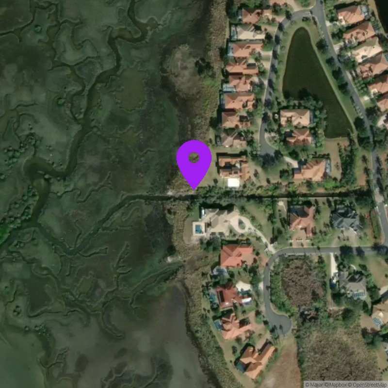
Mizell Outfall at ICWW
Last Updated:
May 19 - 25, 2026
Data Source: Hohonu (2c5e998d-c2be-40b8-a26c-d05350af64c2)
Prediction Source: Hohonu Tides+ (Astronomical tides + seasonal variability + mean sea level adjustment)
Lat/Lon: 29.8516, -81.2974
Time Zone: EDT (UTC-4)
Sensor(s): node-10509 (Radar)
Installation history
NOAA CO-OPS REFERENCE TIDAL STATIONS
Observed: I-295 bridge (west end) (8720357)
Predicted: State Road 312, Matanzas River (8720582) [1.2 miles]
Datums for Mizell Outfall at ICWW
*Datums presented here referenced to the station datum (-D2W)
Tidal Datum Calculation Parameters
Last Updated: -
Record Length: -
Reference Station: -
Approx. Error: -