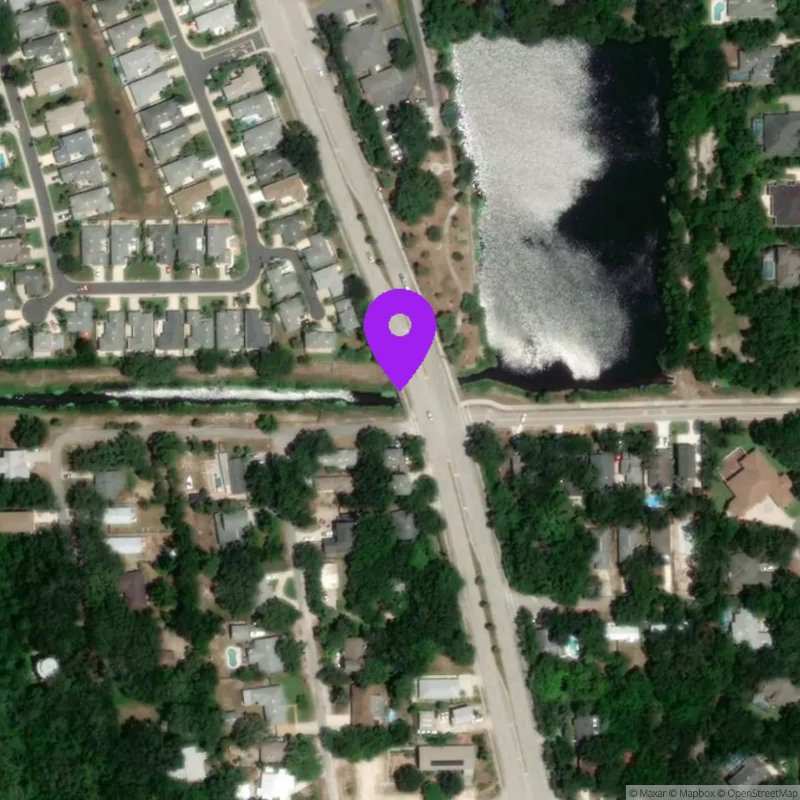
SR A1A at 11th Street Culvert
Last Updated:
May 19 - 25, 2026
Data Source: Hohonu (645b4774-3362-4c13-afdf-ca73dca4bedf)
Lat/Lon: 29.8519, -81.2788
Time Zone: EDT (UTC-4)
Sensor(s): node-10502 (Radar)
Installation history
NOAA CO-OPS REFERENCE TIDAL STATIONS
Observed: I-295 Buckman Bridge (8720357)
Predicted: St. Augustine Beach (8720587) [1.0 miles]
Datums for SR A1A at 11th Street Culvert
*Datums presented here referenced to the station datum (-D2W)
Tidal Datum Calculation Parameters
Last Updated: -
Record Length: -
Reference Station: -
Approx. Error: -