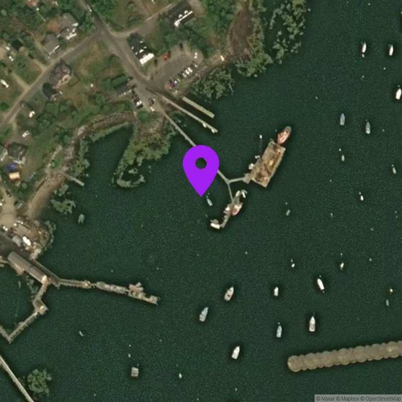
Jonesport, ME
Suspect Data
Last Updated:
Data Source: Hohonu (bf4b0fdb-b18c-47b7-87d9-1ad578fe3c0f)
Lat/Lon: 44.531, -67.595
Time Zone: EST (UTC-5)
Sensor(s): node-10455 (Radar)
Installation history
NOAA CO-OPS REFERENCE TIDAL STATIONS
Observed: Cutler Farris Wharf (8411060)
Predicted: Steele Harbor Island (8411801) [3.6 miles]
Datums for Jonesport, ME
*Datums presented here referenced to the station datum (-D2W)
Tidal Datum Calculation Parameters
Last Updated: -
Record Length: -
Reference Station: -
Approx. Error: -