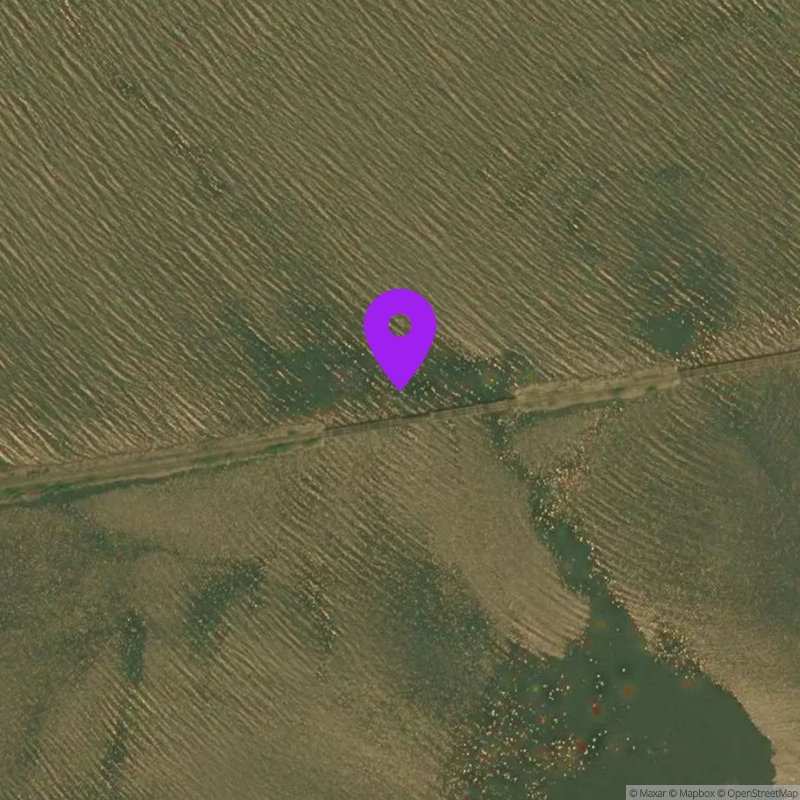
Squamscott River Mouth, NH
Suspect Data
Last Updated:
Data Source: Hohonu (ba725052-d5ec-4048-92c3-761a68d05016)
Lat/Lon: 43.0527, -70.9125
Time Zone: EST (UTC-5)
Sensor(s): node-10410 (Ultrasonic)
Station Operator: NERACOOS
Installation history
NOAA CO-OPS REFERENCE TIDAL STATIONS
Observed: Seavey Island (8419870) [8.9 miles]
Predicted: Squamscott River RR. Bridge (8422687) [0.1 miles]
Datums for Squamscott River Mouth, NH
*Datums presented here referenced to the station datum (-D2W)
Tidal Datum Calculation Parameters
Last Updated: -
Record Length: -
Reference Station: -
Approx. Error: -