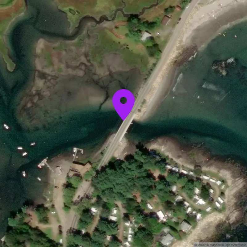
Cape Neddick River at Shore Road, York, ME
Now:
Last Updated:
Data Source: Hohonu (65896777-bc17-40c1-a8a3-0bfb4fb4f475)
Lat/Lon: 43.1888, -70.6053
Time Zone: EDT (UTC-4)
Sensor(s): node-10179 (Ultrasonic)
Station Operator: Town of York
Installation history
NOAA CO-OPS REFERENCE TIDAL STATIONS
Observed: Seavey Island (8419870) [10.2 miles]
Predicted: Cape Neddick (8419399) [1.6 miles]
Datums for Cape Neddick River at Shore Road, York, ME
*Datums presented here referenced to the station datum (-D2W)
Tidal Datum Calculation Parameters
Last Updated: -
Record Length: -
Reference Station: -
Approx. Error: -