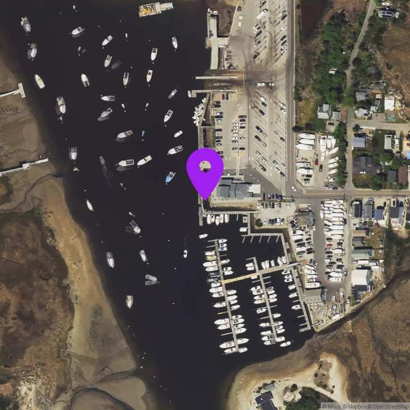
Green Harbor, MA
Last Updated:
This station was collecting data between Oct 20, 2022 and Apr 08, 2026. Until it is reactivated, only historical data can be accessed.
May 19 - 25, 2026
Data Source: Hohonu (35f0e7cc-4692-418c-98ad-03bc1a0af773)
Prediction Source: Hohonu Tides+ (Astronomical tides only)
Lat/Lon: 42.0824, -70.6463
Time Zone: EDT (UTC-4)
Sensor(s):
Station Operator: Woods Hole Group
Installation history
NOAA CO-OPS REFERENCE TIDAL STATIONS
Observed: BOSTON (8443970) [27.9 miles]
Predicted: Brant Rock, Green Harbor River (8446009) [0.1 miles]
Datums for Green Harbor, MA
*Datums presented here referenced to the station datum (-D2W)
Tidal Datum Calculation Parameters
Last Updated: -
Record Length: -
Reference Station: -
Approx. Error: -