
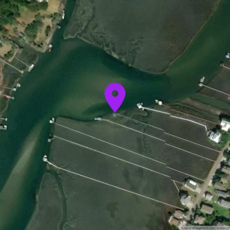
Pawley's Creek, SC
Last Updated:
May 27 - June 2, 2026
Data Source: Hohonu (fae10860-52cb-405c-aa92-b53e268b4513)
Prediction Source: Hohonu Tides+ (Astronomical tides + seasonal variability + mean sea level adjustment)
Lat/Lon: 33.4376, -79.1209
Time Zone: EDT (UTC-4)
Sensor(s): node-10524 (Ultrasonic)
Installation history
NOAA CO-OPS REFERENCE TIDAL STATIONS
Observed: Springmaid Pier, Myrtle beach (8661070)
Predicted: Bennet's Dock, Pawleys Island Creek (8661989) [0.4 miles]
Datums for Pawley's Creek, SC
*Datums presented here referenced to the station datum (-D2W)
Tidal Datum Calculation Parameters
Last Updated: -
Record Length: -
Reference Station: -
Approx. Error: -